
Walk a Noblesville Street
A sound street directory search separates ownership from occupancy. Hamilton County Property Reports identifies the legal parcel and deeded owner. GIS shows which mapped lots touch the street. Recorder records supply dated ownership changes. Voter records and criss-cross volumes can add evidence about people, but neither is an unrestricted, live list of everyone at an address.
- Enter the house number and part of the street name in Hamilton County Property Reports. Save every plausible parcel card when the search returns more than one.
- Open the parcel report, then record the property address, parcel numbers, legal description, subdivision, block, lot, political township, and last recorded date.
- Open Hamilton GeoHub or the parcel map. Click the target and nearby polygons, keeping their parcel numbers with each mapped location.
- Use Transfer History and the Recorder index to follow each grantor and grantee. A grantor transfers property; a grantee receives it.
- For lawful occupancy research, check an individual registration through IndianaVoters or consult HEPL's dated criss-cross directories.
The result is an evidence chain, not a single answer. Date each finding and label it as owner, mailing recipient, voter, permit contact, or historical occupant.
Street-wide work takes care because one address may return more than one parcel. A corner tract, split lot, shared drive, or common area can sit under a similar display address. Resolve each card through its parcel number and legal description before opening the next source. If a name appears in a deed or directory, preserve the spelling and role shown there. The same person can appear as a grantee in one instrument, a grantor later, and a tax-mail recipient after a move. Those roles tell a sequence only when their dates and land descriptions match.
Noblesville Street Property Search
The free Hamilton County Property Reports search accepts a county parcel number, state parcel number, property address, or mailing address in one combined box. Partial address searches work, but the county says not to enter fractions or dashes. One match opens a report. Several matches appear as cards showing property address, parcel numbers, and the “Mail to” line.
| Screen or field | Accepted value | Street use |
|---|---|---|
| Parcel input | 16-digit county or 18-digit state number | Open one stable parcel |
| Property address | House number and partial street | Find land at the physical site |
| Mailing address | House number and partial address | Find where tax mail goes |
| Ownership tab | Owner, transfers, deductions | Separate dated title clues |
| Report links | Map, PDF, transfer instruments | Carry the parcel into GIS and deeds |
The inspected public screen is not an owner-name-first tool. Ownership appears after a parcel match. Current deductions can support a theory that an owner occupied a site, but neither that flag nor the tax-mail address proves who lives there now.
Inside the report, the Ownership Information tab includes Current Ownership, Transfer History, and Current Deductions. Assessment pages show land, improvement, and total values for the last three years, along with tax district and taxing unit. Those fields help distinguish two parcels with like street names. The “Show Property Map” and transfer links move the research outward, while Print as PDF preserves the report as it appeared on the search date. Ownership is updated five times each week according to county help, so a very recent deed may appear in Recorder records before every linked system catches up.
Map Noblesville Streets in GIS
Hamilton County says GeoHub is its main public GIS resource. The parcel layer holds street, legal, ownership, valuation, district, and geometry fields. LOCSTRNAME groups parcels by street; LOCADDRESS and LOCZIP show the mapped site; OWNNAME and OWNADDRESS concern ownership and mail. PARCEL, STPRCLNO, MAPID, and LRSN help keep records joined when names or display formats change.
The county GIS and maps page leads to GeoHub, imagery, and the viewer. The successful capture below shows that official entry point.
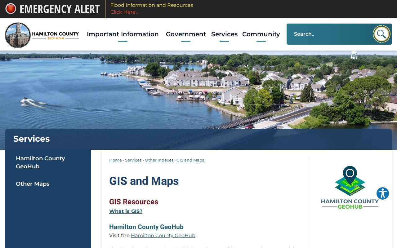
Use the map to see corner lots, through lots, common ground, and parcels with no dwelling. A polygon is a land unit, not proof of a household.
The public parcel service supports queries, statistics, sorting, and pages of up to 2,000 features. It can return JSON, GeoJSON, or PBF data, but a normal map click is enough for most searches. Compare LEGALDESC, SUBDIVNAME, BLOCK, LOTNUMBER, and PROPERTYREPORT in the popup. Add tax district and corporate-limit fields when a Noblesville postal address seems to fall outside the city. Imagery gives visual context, yet parcel lines and aerial features can be captured on different dates. Treat the official parcel attributes and deed description as the record links, not a fence or roof line seen in a photo.
Noblesville Address Terms Matter
Four address ideas can appear in one Noblesville street lookup. Keeping them apart prevents a tax-mail destination or postal label from being mistaken for the physical site.
- Parcel
- A mapped tax unit with its own county and state identifiers.
- Situs address
- The physical location assigned to the parcel, also called the property address.
- Plat
- A recorded map that divides land into subdivisions, blocks, and lots.
- Legal description
- The formal land description used to connect deeds even when a street number changes.
- Criss-cross directory
- A directory arranged by address, allowing a house number to lead to a dated occupant or business entry.
A USPS ZIP is a mail route, not a city-limit line. Likewise, an owner mailing address may be outside Noblesville while the parcel itself sits within the city.
Noblesville Records by Address
No single office supplies a complete Noblesville street directory. Each official source answers a narrower question, and the parcel number or legal description is usually the safest bridge between them.
| Address source | Custodian | What it establishes | Access route |
|---|---|---|---|
| Property report | Hamilton County | Deeded owner, mail, legal description, transfers | Free online search |
| GIS parcel layer | Hamilton County GIS | Street parcels, geometry, district and lot fields | GeoHub, viewer, REST layer |
| Recorded instruments | Hamilton County Recorder | Grantor, grantee, instrument, book and date | Online services, office terminal, copies |
| Civic Access permits | City of Noblesville | Permit, status, contacts, plans and inspections | Public portal or city request |
| Voter data | Hamilton County Elections | Individual registration or restricted walking list | IndianaVoters or VRG-24 |
| Criss-cross volumes | Hamilton East Public Library | Dated occupant or business by address | Indiana Room and staff help |
When the web path fails, call or visit the custodian. The Recorder offers office access and historical books; HEPL provides in-person help; city records can be requested through the city's public-record channel.
Follow Noblesville Street Ownership
Transfer History on a parcel report gives instrument dates and numbers, prior and new parties, and the legal description. Search the seller as an earlier buyer, then repeat. Modern online deed coverage begins in February 1947. Historical deed indexes cover 1870 through 1963, and deed books 75 through 133 span May 1899 through January 1949. Older material may require the Recorder's office rather than the same web screen.
The Recorder's electronic-record access page explains the online and terminal routes. Its page-matched image provides a visual check on the official source.
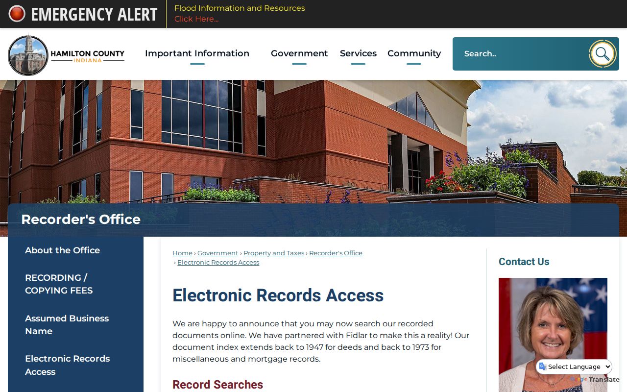
Recorded images can lag or require payment. Keep the instrument number, book, page, and parcel description so staff can retrieve the right document without relying on a street spelling alone.
The Recorder states that new documents usually become available online within 24 hours. Laredo Anywhere and Tapestry provide electronic paths, while public terminals and staff retrieval cover records that are not in the same free screen. Miscellaneous online coverage starts in 1973. Historical miscellaneous indexes and books span 1914–1960. The Recorder does not conduct a title search or give legal advice, so a street study should be described as record research. For each transfer, compare the grantor, grantee, recorded date, instrument number, and legal land description before carrying a name backward.
Noblesville Permits Add Dates
Noblesville Civic Access can be searched without a login. It exposes address, permit type and description, application and status fields, contacts, plans or files, holds, inspections, and an Excel export. A permit contact may be an applicant, contractor, or owner, so the role shown on the record matters.
Permit and inspection dates can explain when a parcel changed use or when work occurred. Older files may require a request. Police accident reports are keyed by date and place, cost $5, and require a closed incident plus two business days. Other police reports use JustFOIA. None of these sources is a household list.
Search partial values when the portal permits them, then narrow by record type, status, address, or date. Open the detail page before relying on an export row, since attachments and inspection entries can add context. An application date may precede the work, and an inspection does not by itself show when someone occupied the site. If no online result appears, frame a city records request around an existing permit number, address, date span, or record type. Indiana's public-records law does not require an agency to create a new resident list from unrelated fields.
Noblesville Voters by Street
IndianaVoters is built to confirm one person's registration, precinct, polling place, sample ballot, and ballot status. It is not a public street-browse screen. A county walking list requires State Form VRG-24 and a qualifying requester category. The form offers county, township, precinct, voter-registration, vote-history, and walking-list choices under statutory limits.
Restricted route. VRG-24 bars nonpolitical solicitation and transfer, and protected voter records are withheld.
If a full file is not available, use property and GIS data for parcel structure, then HEPL's historical volumes for dated occupants. Use the voter portal only for a lawful individual check.
Noblesville Street Number Mystery
Noblesville Preservation Alliance warns that house numbers changed and that the 1916, and possibly 1920, directory used an earlier numbering system. No official conversion year or complete crosswalk was located. That gap should remain explicit.
Bridge an old number with the street-by-number page, Original Plat block and lot, legal descriptions, Sanborn building footprints, known adjoining properties, and newspaper notices. The 1916 directory's street section begins with the address and then names an occupant or business. For deeper collection detail, consult the Noblesville city directory collections.
Test a Noblesville Street Trail
A public, nonprivate sample makes the method concrete without naming an incidental owner. The parcel at 10 S 9th Street is identified as Noblesville Original Plat, Block 14, part of Lot 4. Its county parcel number and state parcel number provide stable joins to the current report and map.
Next, test the Recorder transfer chain, the 1916 street-by-number page 215, the 1920 and 1922 directories, and the 1914 and 1922 Sanborn footprints. If the street number changed, block, lot, legal description, and building shape are stronger continuity evidence than the number alone.
Noblesville Street Directory Limits
Property records name deeded owners, not every person who lives at a site. GIS describes land. Permits identify project roles. A directory entry is dated historical evidence. BMV personal data is restricted by federal and Indiana law, utility customer lists were not found as an open resident source, and Address Confidentiality Program records may intentionally hide identifying voter information.
Absence also proves little. A person may be unregistered, unlisted, living with an owner, or recorded under an older street form. Cite the precise source and date instead of turning a clue into a claim about a current household.
Lawful personal use. Never use Noblesville address records to follow, threaten, harass, or expose a protected person.