
Noblesville Previous Residents Sources
No single roll names every person who lived at a Noblesville address. A deed proves a transfer of legal title, while a directory or census may name an occupant. Property reports give the current parcel anchor and a transfer table. Recorder indexes extend that chain into older books. HEPL's Indiana Room and the Hamilton County Historical Society then supply the address-based sources needed to look for previous residents who were not owners.
| Source | Years It Covers | Where Held | What It Shows |
|---|---|---|---|
| Recorder online deeds | 1947 to present | County links to Tapestry and Laredo | Grantor, grantee, instrument, date, book, and available images |
| Historical deed indexes | 1870 to 1963 | Hamilton County Recorder | Name and book or page reference |
| HEPL criss-cross directories | 1976 to current, with gaps | HEPL Indiana Room | Occupant or business listed by address |
| City directories | 1874 to 2000, with gaps | HEPL and Historical Society | Name, address, work, and household clues |
| Sanborn maps | 1883 to 1947 selected years | Historical Society and library sources | Building footprint, use, and lot context |
| Federal census | Public through 1950 | National Archives and library databases | Household, relationship, age, and occupation |
For a recent change, begin with the current property report and Recorder. For a late twentieth-century occupant, try the criss-cross run. For an older household, combine directory years with a released census and a Sanborn map. This layered approach marks what each source proves instead of treating an owner, tax-mail recipient, and occupant as the same person.
Anchor a Noblesville Address
The Hamilton County Property Reports search accepts a parcel number, state parcel number, property address, or mailing address. Use the property address first, then open each possible result if more than one card appears. Record the deeded owner, parcel identifiers, legal description, subdivision, block, lot, deeded acres, last recorded date, and transfer history. Keep the situs address separate from the tax mailing address.
A parcel number is the stable join key. Street numbers can change, owners can receive tax mail elsewhere, and a corner or through lot may face more than one street. The legal description can carry an Original Plat, block, and lot reference across those shifts. Current deductions may support an owner-occupancy theory, but they do not prove who sleeps at the address today.
Evidence flow. Address to property report to parcel and legal description to transfer history to Recorder instrument to an earlier owner.
Trace Hamilton County's Deed Chain
The Hamilton County recorded-document page explains the split between modern electronic access and older office holdings. The Recorder does not conduct title searches or give legal opinions. A house-history searcher can still use the index as a documented research trail, moving backward one recorded transfer at a time.
- Copy the current owner, parcel number, legal description, and most recent transfer from the property report.
- Find that purchase or transfer instrument. Compare the legal description before accepting the name match.
- Treat the current owner as grantee on that instrument. Record the seller, or grantor.
- Search that seller as an earlier grantee. Repeat, always carrying the book, page, instrument, and parcel facts.
- At the web cutoff, use the 1870 to 1963 deed indexes and the office's older deed books.
- Grantor and grantee
- The grantor gives or sells an interest. The grantee receives it.
- Chain of title
- The linked sequence of transfers affecting the same land.
- Legal description
- The plat, block, lot, section, or other land wording that identifies property even when its street number changes.
Online deeds begin in February 1947. Miscellaneous records begin in 1973. Earlier work can use deed indexes from 1870 through 1963 and deed books 75 through 133, which cover May 1899 through January 1949. Tapestry may charge for document images, while Laredo is designed for account-based access. The Recorder's office and public terminals remain the fallback when a web result or image does not reach the needed year.
Noblesville Records Cross Three Eras
The modern portal, historical index, and book room are separate access layers. A blank online search before 1947 does not show that a transfer never happened. It often shows only that the search has reached the digital boundary. Historical indexes point to a book and page, while the deed book supplies the full instrument text.
The Indiana State Library Hamilton County guide adds probate abstracts, naturalization records, WPA vital indexes, and custodian routes. These can help when a deed moves through an estate or when the same surname appears on several parcels. Hamilton County was formed in 1823, and Noblesville is the county seat, so county, city, township, and tax-unit labels may all appear in one long address trail.
The Hamilton County Recorder office page is shown below as the official starting point for office access and document procedures.
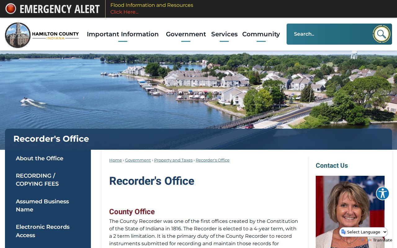
The office page confirms the custodian to contact when an online chain ends at an index, a paid image, or an older book.
Bridge Noblesville's Number Changes
Noblesville Preservation Alliance warns that house numbers changed and that the 1916, and perhaps 1920, directories use an earlier numbering system. The exact conversion year and a citywide crosswalk were not found in the official sources. Do not force a modern number into an old directory or claim a precise renumbering date.
Bridge the gap with street-by-number pages, a legal block and lot, a Sanborn footprint, neighboring buildings, and newspaper notices that name old and new forms. The current parcel's Original Plat wording can be more reliable than a street label. A match becomes stronger when the lot shape, adjacent address, transfer, and directory entry all point to the same site.
Map Past Noblesville House Shapes
The Hamilton County Historical Society lists Noblesville Sanborn maps for 1883, 1887, 1892, 1898, 1905, 1914, 1922, 1933, and 1947. Each map is a dated view of building footprint, use, construction details, and nearby structures. It cannot name every prior occupant, but it can show whether the structure or lot context changed between directory years.
City permit records add application details, status, contacts, inspections, plans, and attachments when a record exists. The start date of the online permit set was not located, so older work may require a focused records request. Compare permit and map dates with assessment changes. They can narrow construction or alteration to a span without pretending that one source supplies an exact build date.
Pair Noblesville Directories and Census
Ownership is only half of a previous residents search. HEPL's criss-cross directories begin in 1976 and work from an address to a listed occupant or business. Older city directory runs cover 1874 through 2000 with gaps. The exact holdings and how to read them belong on the Noblesville Directory Book page; here, use each directory hit as one dated point in an address trail.
- Choose a directory year and search its street-by-number section when one exists.
- Copy the printed name, address form, business note, and year without modernizing them.
- Find the matching released census decade, using township and enumeration district when street indexing fails.
- Compare household names and relationships. Carry the lot or deed facts through any number change.
- Test the years between census snapshots with newspapers, obituaries, cemetery records, deeds, and directories.
The National Archives releases individual census schedules after 72 years, so 1950 is the latest public household census. A directory can fill the years between 1900, 1910, 1920, 1930, 1940, and 1950 snapshots. A census enumeration district is the small area assigned to a census worker. It is a useful geographic key when an old address is absent or changed.
Lawful use. Research Noblesville previous residents for house history, genealogy, and estate work, never to track, threaten, or harass a living person.
HEPL Connects Past Noblesville Residents
Hamilton East Public Library's Indiana Room offers in-person access without an appointment, genealogy consultation, and two-hour Family Histories appointments. Its tools include directories, newspapers, the Obit File, vertical files, yearbooks, funeral-home books, maps, and microfilm. Ask with an address, date range, old street spelling, and any known family name. That is more useful than asking staff to find everyone who ever lived there.
The HEPL local-history index shown below is a strong endpoint for obituary and local-history clues tied to previous residents.
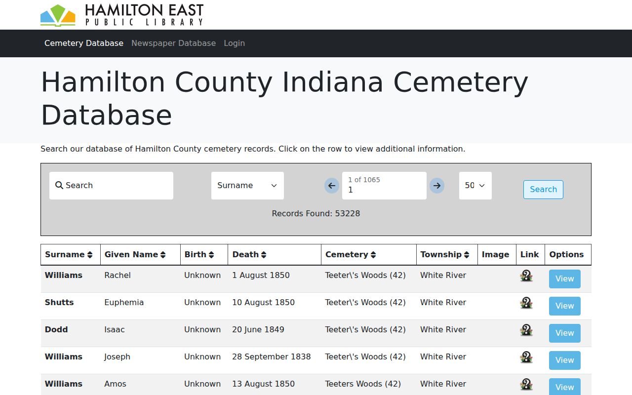
An obituary can connect relatives, a death date, and a newspaper issue, while probate may identify heirs or property. Confirm key facts with the original record whenever access rules permit.
Close a Noblesville Resident Trail
Riverside Cemetery provides a city-held research route with an unusually early local timeline. Its earliest known marker dates to 1824, the cemetery was established in 1827, and the first city record is dated June 26, 1851. Cemetery information does not prove that a person occupied a given house. It can still supply the dates and family links needed to select the right obituary, probate file, or directory line.
The Riverside Cemetery records page shown below identifies the city source and research contact.
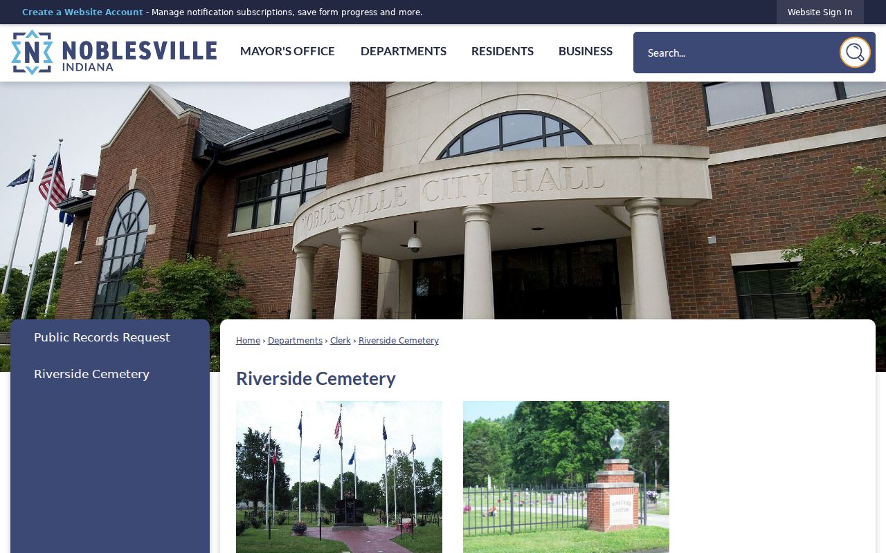
Use cemetery and obituary evidence to close a dated resident trail, then return to the parcel and deed chain before claiming that the person lived at the target address.
When is the trail complete? Stop when the official source ends, the year is missing, or two people cannot be separated with reliable facts. Record the search date, name form, address form, custodian, and reason for the gap.