
Noblesville Neighbors by Block
A block lookup works best when every claim carries a label. GIS shows which parcels touch. Property Reports names a deeded owner and tax-mail destination. A directory supplies a dated occupant or business. None of those facts alone proves who lives next door now. Noblesville neighbors are therefore researched parcel by parcel, with the map date and source kept beside each result.
| Source | What It Shows About a Block | Access |
|---|---|---|
| Hamilton GIS parcel layer | Adjacent geometry, parcel address, legal lot, owner, mailing, and tax district | Free GeoHub and map viewer |
| Hamilton Property Reports | Deeded owner, situs, tax mailing, deductions, and transfer table | Free parcel or address search |
| Recorder records | Ownership changes, instrument data, deeds, and plats | Web indexes, paid images, office books and terminals |
| HEPL criss-cross | Address-to-occupant or business entry for a past year | Indiana Room, 1976 to current with gaps |
| Neighborhood groups | Public projects, boundaries, notices, and civic context | City and association public pages |
Use the map first when the question is geographic. Use the parcel report when the question is ownership. Use a directory only for its printed year. If a name is blank, protected, or behind a member login, record that access limit and stop rather than filling the gap from an unrelated profile.
Map Noblesville Neighbors Parcel by Parcel
The Hamilton County GeoHub is the public doorway to GIS data. Turn on parcels, locate the target, and click the polygons on each side. The parcel service exposes address, street name, parcel number, legal description, subdivision, block, lot, owner, mailing address, tax district, assessed values, homestead field, and a Property Report link. Those fields define the block before names are compared.
- Select the target parcel and save its parcel number, legal description, block, lot, and map view.
- Identify each polygon touching it by map direction. Include parcels across an alley only when the research scope calls for them.
- Open each Property Report. Copy the deeded owner and mailing address without calling either an occupant.
- Flag a corner lot, through lot, common area, river edge, greenway, right-of-way, vacant parcel, or civic use.
- Date the results. If GIS and Recorder names differ, preserve both dates and check the newest instrument.
An adjacent polygon is a geographic relationship, not a relationship between people. A long street needs a different method; the Noblesville street directory follows the full named street rather than this immediate parcel radius.
Record Each Noblesville Neighbor Clue
A small worksheet prevents owner, occupant, and map clues from blending together. Give one row to each adjacent parcel. Keep the source date because GIS exports can lag a newly recorded deed, and property data can refresh on a different schedule.
| Worksheet field | Why it matters |
|---|---|
| Parcel and situs address | Identifies the mapped lot and physical street location |
| Legal block, lot, or subdivision | Separates split, combined, and through parcels |
| Deeded owner and mailing difference | Records ownership without asserting occupancy |
| Last transfer date | Shows when Recorder verification may be needed |
| Historical directory or map hit | Adds a dated occupant, business, or footprint clue |
| Confidence and access note | Marks conflicts, blank fields, and protected information |
The GIS service can return up to 2,000 records per query and supports JSON, GeoJSON, and PBF. A normal block search does not need a bulk export. Retain the stable parcel ID, map date, and Property Report URL for the few parcels actually examined.
Compare Noblesville's Historic Block
The 1916 W. H. Hoffman directory includes a street-by-number section. It can place a printed occupant or business beside a house number for that year. HEPL criss-cross volumes serve the same address-first role from 1976 forward, with gaps. Noblesville house numbers later changed, so an old line must be tested against a legal lot, neighboring structure, or map rather than copied onto today's address.
Sanborn maps held by the Hamilton County Historical Society cover selected years from 1883 through 1947. They show footprint, use, materials, and nearby structures. On a White River edge or downtown block, that context matters. A parcel now next to a greenway or common tract may once have faced a different building pattern.
The 1950 census adds a public household snapshot, but it must be found in the right enumeration district and read as a record of that date. Earlier census decades can be paired with directories between them. For instance, a directory name at an old number gains weight when the census household, Sanborn footprint, and legal lot agree. It weakens when only a surname matches. Keep the original spelling, initials, spouse or widow notation, and business labels because each detail can separate two people with the same name.
What if a directory and map disagree? Keep both dated findings. Check the street spelling, number system, lot geometry, and adjacent landmarks before deciding whether the sources describe the same place.
Public Noblesville Neighborhood Contacts
Public group pages can identify a neighborhood name, civic project, public meeting, or boundary. They are not permission to copy private rosters, dues records, or gated minutes. Cherry Tree Meadows describes a 292-home community, but its homeowner materials require a verified account. Arbor Grove also provides association information without becoming a public resident roll.
Noblesville Community Groups
Use the city community-group directory for public civic and organization links.
Neighborhood Match Grant
The city grant program connects eligible groups to public project records.
Neighborhood Watch
The Hamilton County program lists a tip line at 317-776-5848 and public-information contact at 317-773-1872.
Use these contacts for public geography, projects, notices, and history. Ask the relevant group for its public material, and respect any member-only boundary.
Noblesville Grants Map Community Change
The Neighborhood Match Grant launched in 2025. For 2026, applications ran from March 30 through May 1, with awards scheduled for May 18. The city matches 50 percent of eligible costs, up to $10,000, for eligible neighborhood groups and HOAs inside Noblesville. Applications include registration or a map, images, plans, a budget, and proof of funding.
The 2026 Neighborhood Match Grant announcement shown below records the application window and public program details.
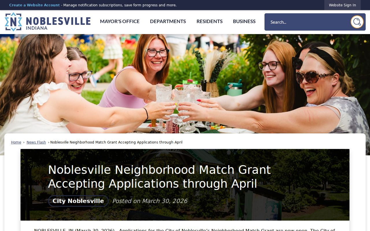
These files can document a neighborhood boundary, shared improvement, and project date. They add place history around Noblesville neighbors without serving as a household directory.
Noblesville Neighbors Shape Future Maps
The 2026 All In Noblesville engagement collected more than 230 survey responses, more than 200 map pins, and more than 600 pop-up visitors. That input feeds an 18 to 24 month Comprehensive Plan and Unified Development Ordinance update intended to guide the next 20 years. Public map comments add civic and geographic context, not a verified list of residents.
The All In Noblesville update shown below gives the city's participation totals and planning timeline.
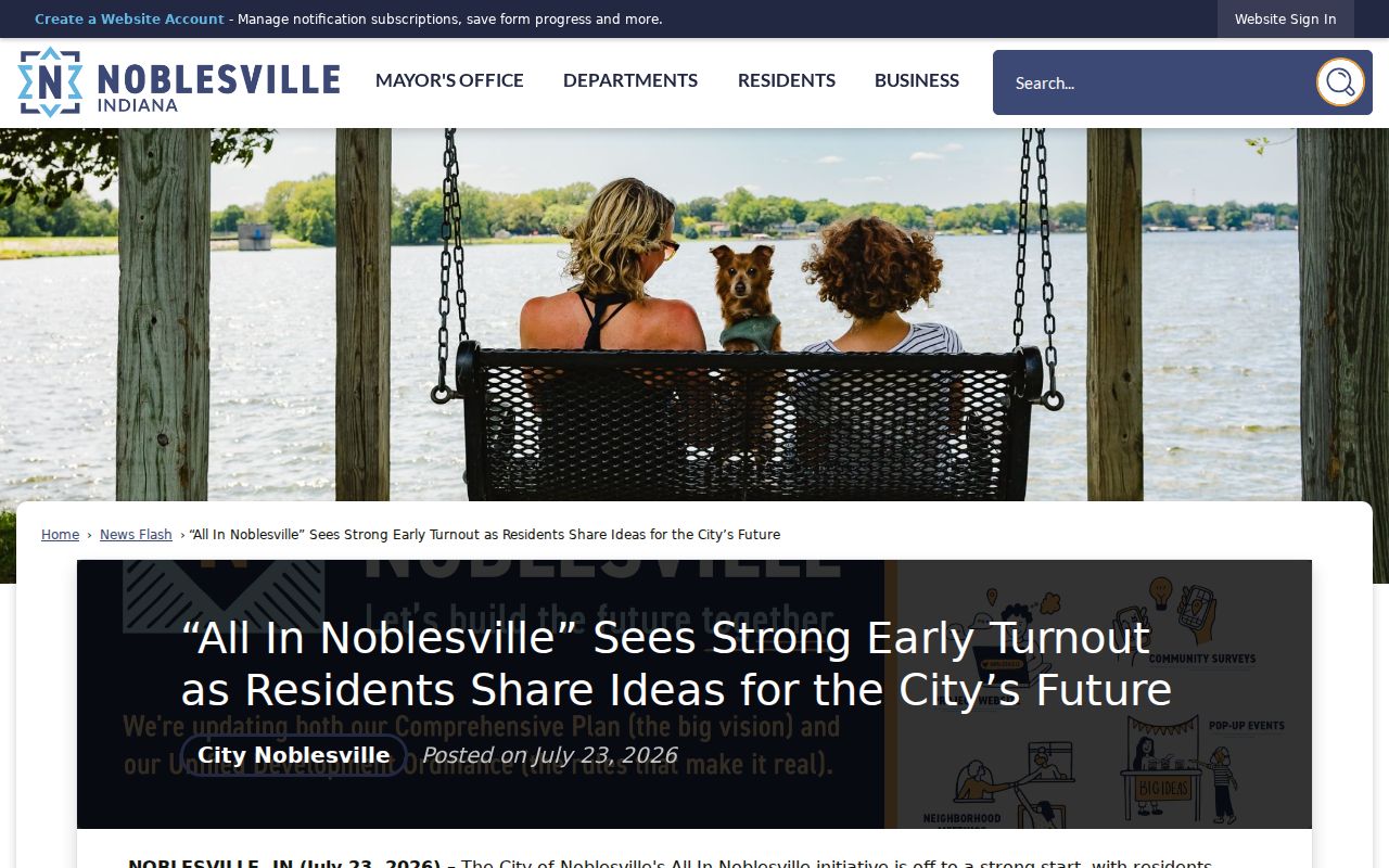
A map pin can show what mattered at a place during the planning process. It should never be turned into an identity claim about the person living on that block.
Compare Noblesville Neighbor Sources
Official rolls and commercial neighbor tools answer different questions. The official record has a known custodian, date, and legal purpose. A commercial profile may merge public and marketing data, carry stale addresses, or combine people with similar names. Treat the latter as an unverified lead, never as proof.
| Source type | Strength | Key limit |
|---|---|---|
| County GIS and property roll | Parcel geography and deeded ownership | Does not prove occupancy |
| Recorder instrument | Dated transfer and legal description | Image or older book may require paid or office access |
| Historical directory | Dated occupant or business line | Missing years and changed numbers |
| Commercial neighbor tool | Possible lead across mixed datasets | Unknown freshness and same-name merging |
Confirm a useful lead at its originating office. Do not use a profile to work around a blank, protected, or confidential official record.
Public permits offer another dated address clue. Noblesville Civic Access can show a permit description, status, contacts, inspections, plans, and attachments, though the online collection's start date was not located. A permit contact may be an applicant, builder, or representative. Label that role. For older material, request the specific address and date range from the city instead of asking an office to create a new neighbor list.
Protect Privacy Around Noblesville Neighbors
Indiana's Address Confidentiality Program gives eligible victims a substitute address through a trained-advocate process. Protected voter records can withhold names, addresses, phone numbers, and identifying details except in narrow official circumstances. If a trail jumps to a substitute address, do not try to reverse it. Driver data, utility customer details, and private delivery information are not substitutes for a public block directory.
Indiana voter lookup confirms an individual registration and polling details. A block or walking list requires the VRG-24 request route, a qualifying requester category, and a restricted-use agreement. It is not a general neighbor download. Gated HOA lists also remain private even when an association's public page confirms the community name.
Indiana's consumer privacy law can give qualifying consumers rights concerning data held by covered businesses. It does not erase a county deed, parcel, permit, or court record. A correction to an official parcel must go to the office that keeps that parcel record. A commercial-data request goes to the business. Keeping those routes separate protects accuracy and avoids asking a neighborhood group to change a government file it does not control.
Lawful use. Research Noblesville neighbors for civic curiosity, reconnection, and personal safety, never to watch, threaten, harass, or expose a protected person.